Primary tabs
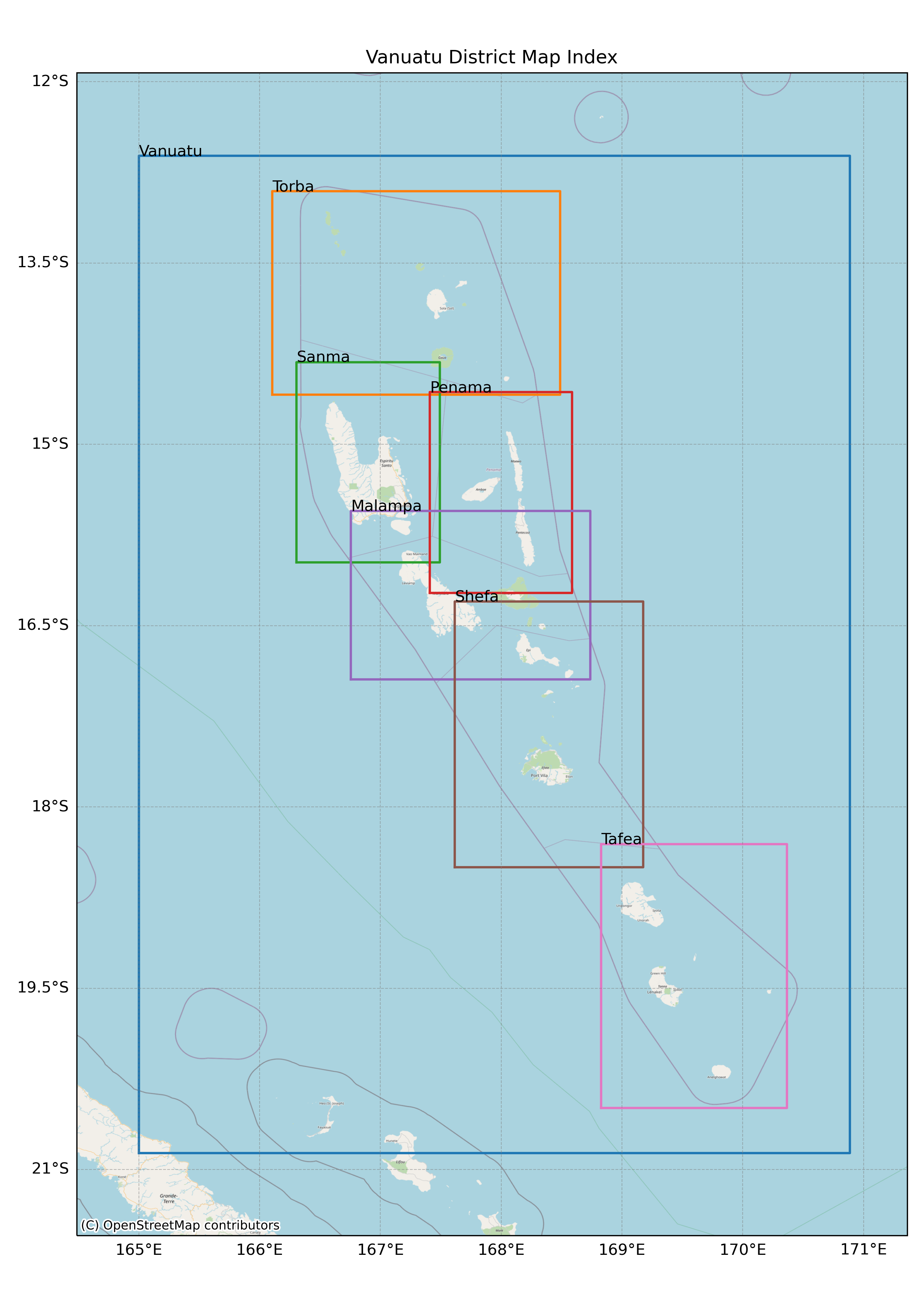
2025 Vanuatu Climate Maps - VanKIRAP
- Daily Rainfall and temperature data (1991-2020) was provided by VMGD from the homogenized data on the Pacific Climate Change Portal http://www.bom.gov.au/climate/pccsp/. This includes:
- Homogenised monthly total rainfall data for stations at Port Vila (ref
91558/VAN07002), Sola on Vanua Lava Island (ref 91551/VAN31001) and Aneityum
(ref 91568/VAN03001).
- Non-homogenised monthly total rainfall data for stations at Bauerfield on Efate Island
(ref 91557/VAN07001), Pekoa Airport on Santo Island (ref 91554/VAN25001), Lamap
on Malekula Island (ref 91555/VAN16001) and White Grass Airport (ref
91565/VAN26003).
- Homogenised monthly minimum, maximum and mean temperature data for Aneityum
(ref 91568/VAN03001).
- Non-homogenised monthly minimum, maximum and mean temperature data for Port
Vila (ref 91558/VAN07002), Sola on Vanua Lava Island (ref 91551/VAN31001), Pekoa
- Airport on Santo Island (ref 91554/VAN25001), Bauerfield on Efate Island (ref
91557/VAN07001), Lamap on Malekula Island (ref 91555/VAN16001) and White Grass
Airport (ref 91565/VAN26003).
- Rainfall and temperature maps are presented in mm and degree Celcius.
- Atlas of maps of the past climate of Vanuatu are presented in monthly and seasonal, showing historical long term average rainfall and temperature for Vanuatu, including ENSO phases.
- Monthly mean rainfall and temperature statistics were derived from the daily data in (1).
- Mapping the monthly climate statistics was undertaken by NIWA using a combination of in-house procedures, ArcGIS Pro Geoprocessing (Esri, 2023) Python scripting, ANUSPLIN (The Australian National University, 2023), and other mapping tools.
- The Australian National University's Shuttle Radar Topography Mission (ASTER) Global Elevation Model (GDEM) Version 3 (ASTGM) elevation dataset was selected because it provided a 12 Maps of the Past Climate of Vanuatu consistent coverage across Vanuatu at an acceptable spatial resolution of 1 arc second (approximately 30-metre) and was freely available via the Vanuatu Environment Data Portal
index.png
(667.55 KB)
Additonal Information
| Field | Value |
|---|---|
| mimetype | image/png |
| filesize | 667.55 KB |
| timestamp | Tue, 07/01/2025 - 20:55 |